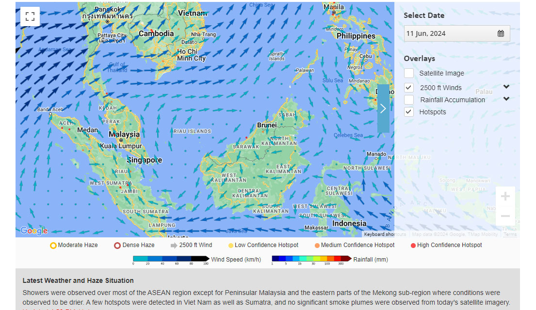
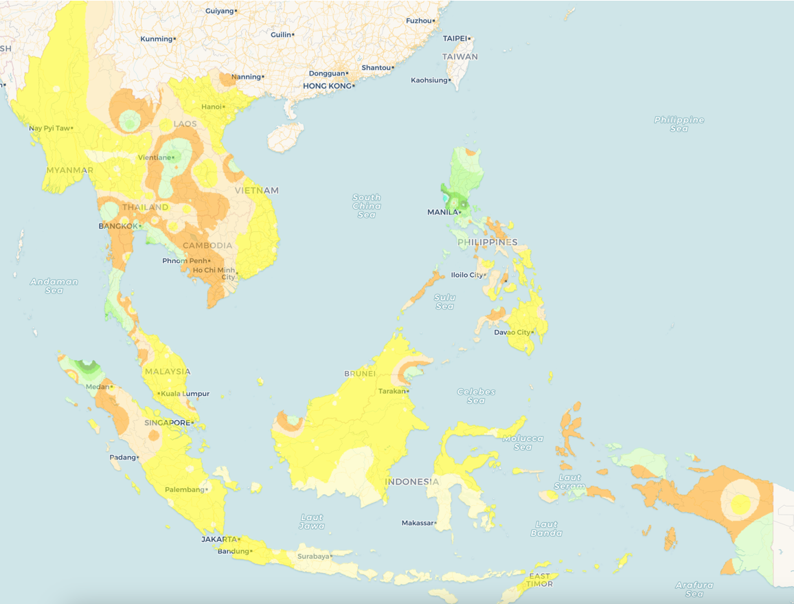
The Regional Haze Map is a tool provided by ASEAN Specialised Meteorological Centre (ASMC) to accurately disseminate the haze episodes in ASEAN Region from both Northern and Southern ASEAN Region. This map play a crucial role in locating and pointing haze location and sizes also it’s status either domestic haze or transboundary across region.
example photo
ASEAN Hotspot Map
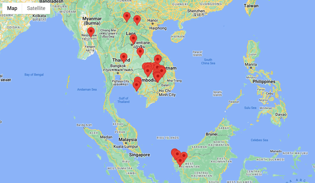
The ASEAN Hotspot data is a critical tool provided by the ASEAN Specialised Meteorological Centre (ASMC) that visually represents the locations of hotspots detected across the ASEAN region inside the interactive map that served within the feature of this app. This map plays a vital role in monitoring and managing fire risks, particularly in areas prone to wildfires and agricultural burning.
example photo
Fire Danger Rating System (FDRS)
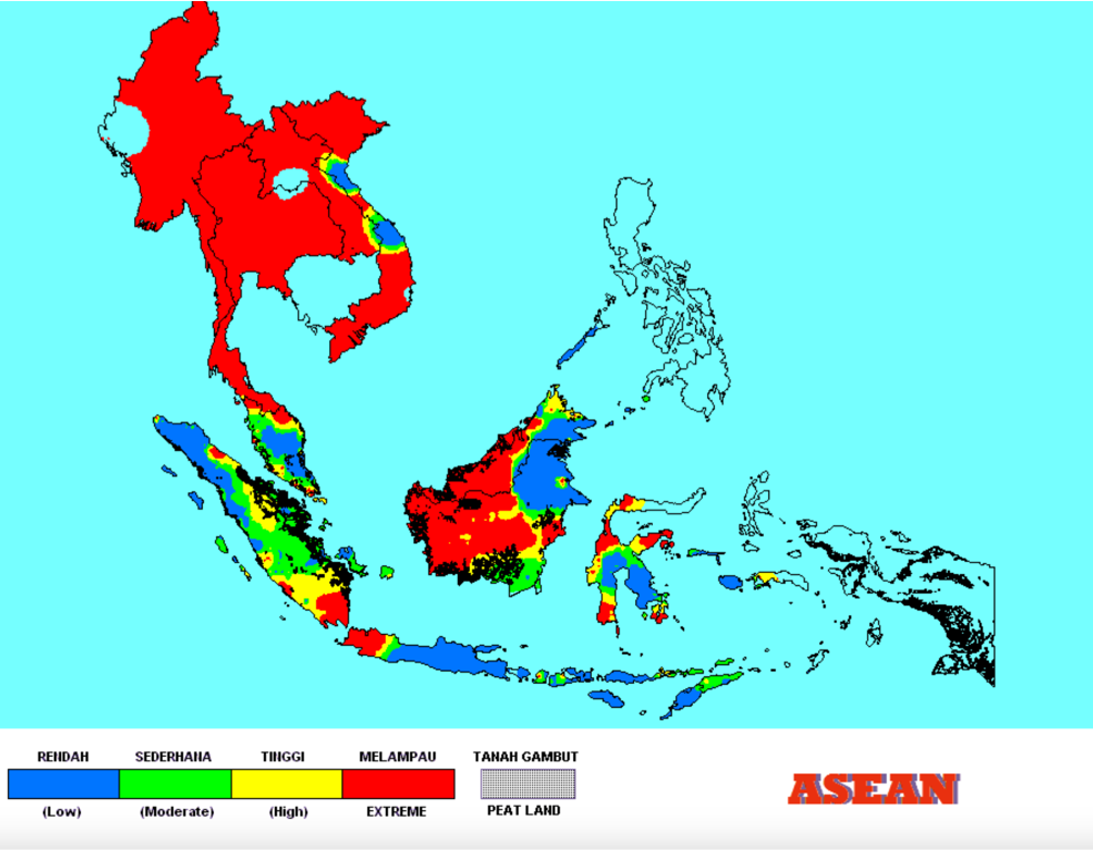
The Fire Danger Rating System (FDRS) is an early warning system used to assess and monitor the risk of forest and vegetation fires in ASEAN Region. It is particularly useful for land managers, fire control agencies, and the general public to be notified the potential for wildfire occurrence and spread.
The FDRS categorises fire danger into different levels, typically colour-coded (blue, green, yellow and red) ranging from low to extreme.
Sources: • Malaysian Meteorological Department (MET Malaysia)
example photo
Weather Updates
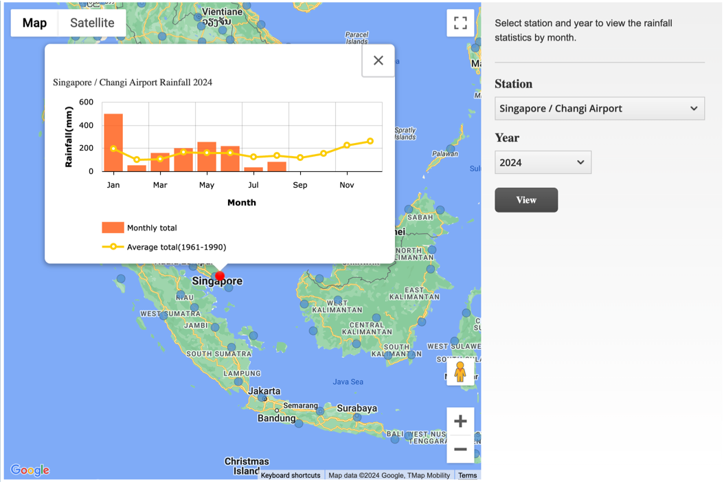
Weather forecast is determined based on predictions and outlook released by the ASEAN Specialised Meteorological Centre (ASMC). ASMC is a regional collaboration programme among the National Meteorological Services (NMSs) of ASEAN Member States playing a role as a body to monitor and assess land and forest fires and the occurrence of transboundary smoke haze affecting the ASEAN region. Visit ASMC for more information.