Close
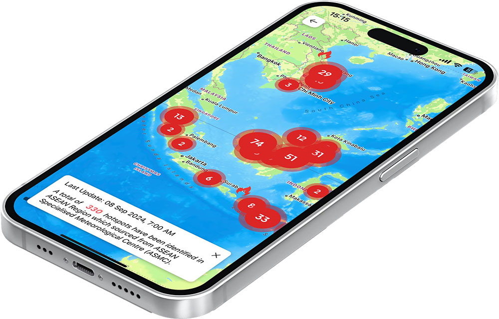
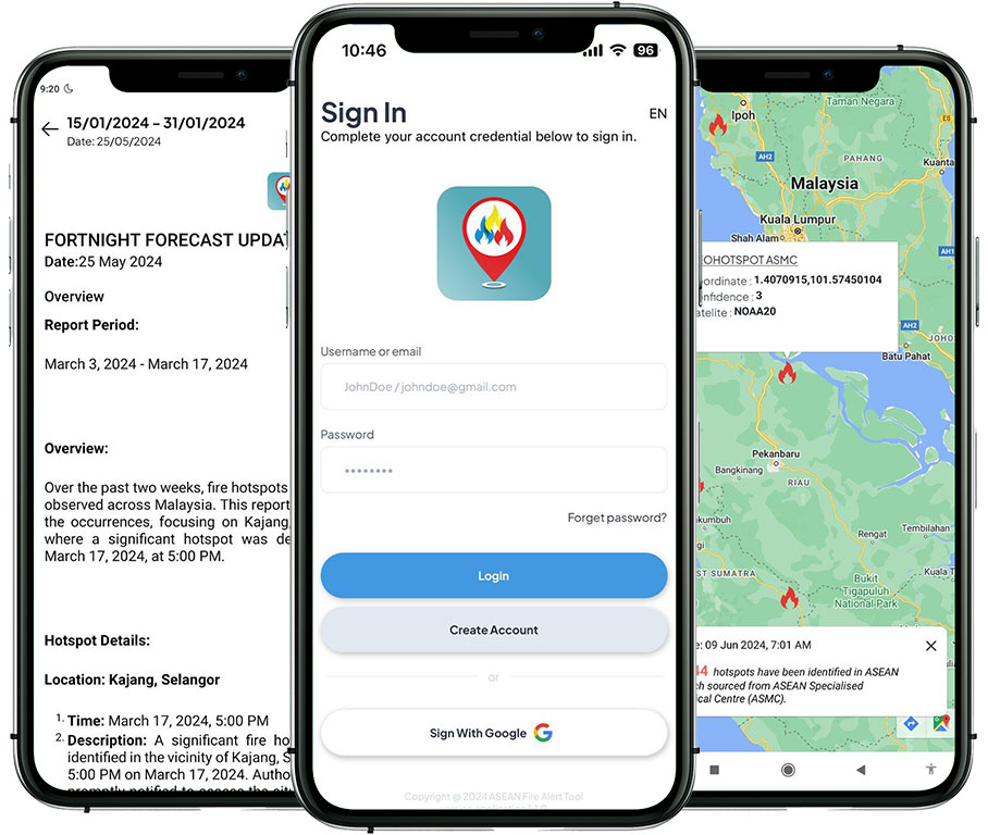
The ASEAN Fire Alert Tool is a comprehensive mobile application designed for public user in the ASEAN region, particularly ASEAN Member States and land managers. The primary aim of this tool is to facilitate easy access to critical information regarding hotspot notification, enabling effective monitoring and management of potential fire risks through Fire Danger Rating Systems (FDRS) that were widely used within the region.
The mobile app is designed to enhance the capability of user, specifically land managers and other stakeholders in the ASEAN region to respond swiftly to fire threats, thereby mitigating risks and safeguarding both natural resources and human health.
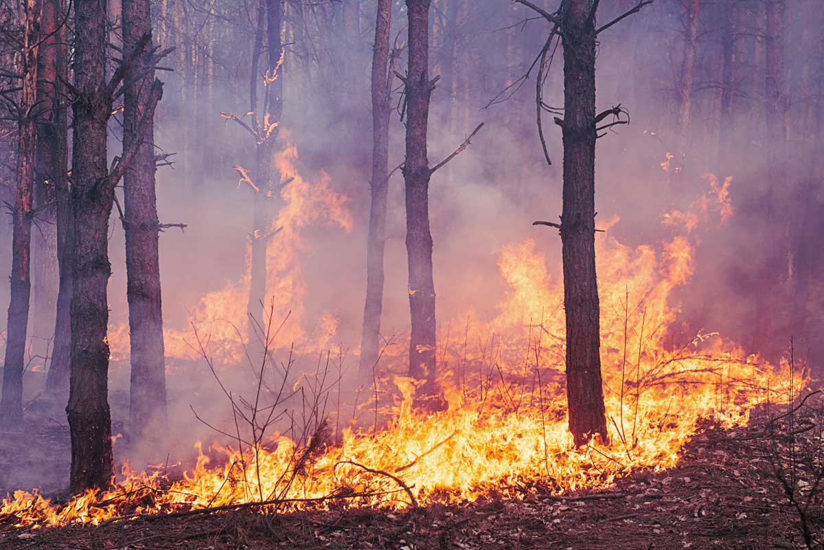
Fire Risk Notification
Fire risk notifications will be displayed on the Mobile App Main Page, based on the user’s current location. These notifications are aligned with the Fire Danger Rating System (FDRS) information to provide early warning to users.
Hotspot
Daily updates from the ASEAN Specialised Meteorological Centre (ASMC) on hotspots information across the Southeast Asia region.
Hotspot information are available for user to download and share. Users can select regional data covering either Northern or Southern ASEAN, or country-specific data, updated on a weekly basis.
Hotspot Verification
User can verify hotspots that fall inside their Area of Interest (AOI) or within 5 km radius from the hotspot’s coordinates. Verification is meant to validate whether the hotspot is true fire occurrence or false alarm.
Area of Interest (AOI)
Users can select their Area of Interest (AOI) to receive push notifications alerts when hotspots are detected within their chosen areas. Users can create up to 20 AOIs, and it can be updated regularly. AOIs can be created using the following methods:
Climate
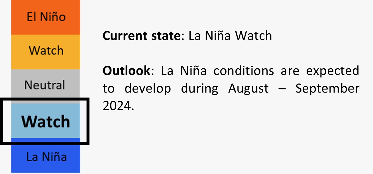
This section provides seasonal El Niño and La Niña updates
Example:
Weather Forecast
Weather updates provided by ASEAN Specialised Meteorological Centre (ASMC). The information are available in the following intervals:
Create Report (Information Sharing)
Users can share voluntary information on fire incidents or haze occurrences including photos and geolocations.
Interactive Map
The Interactive Map integrates multiple datasets, including hotspots, FDRS, wind direction, rainfall, temperature, humidity and current haze situation. This information is sourced from the ASMC and the Malaysian Meteorological Department (MET Malaysia). From the Interactive Map, users can evaluate the fire risk severity in their AOIs.
Recent News
Updates on topics such as haze, peatland management, climate change, restoration and rehabilitation initiatives in the ASEAN region and globally, available from ASEAN Haze Portal.
Multiple Language
This app supports multiple language selections, specifically for ASEAN Region. English is the default language, with the following language also available:
Push Notifications:
Registered users receive push notifications if hotspots are detected within or near their Area of Interest(s) (AOI).
Updates:
Public Access:
All data is available to the public for dissemination, ensuring transparency and broad accessibility.
The MAHFSA (Measurable Action for Haze-Free Sustainable Land Management in Southeast Asia) Programme is a collaborative five-year initiative between the ASEAN Secretariat and the International Fund for Agricultural Development (IFAD). This programme aims to address and mitigate the issues related to transboundary haze pollution and its impacts on the Southeast Asia region. One of the key components of the MAHFSA Programme is the development of the ASEAN Fire Alert Tools.
The ASEAN Fire Alert Tool, supported by the MAHFSA Programme, leverages advanced technologies and real-time data to provide timely alerts and updates about fire occurrences, helping to coordinate swift response actions across the ASEAN Member States. By improving information sharing and cooperation, the application aims to reduce the incidence and severity of haze pollution, contributing to healthier environments and communities throughout Southeast Asia.
The information provided on this website is periodically updated and sourced from the following organisations:
Appreciation is extended to these organisations for their valuable contributions to the shared data on this platform.
This application is made possible by the support of IFAD through Measurable Action for Haze-Free Sustainable Land Management in Southeast Asia (MAHFSA) Programme.